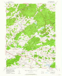
1956 Map of Elverson
USGS Topo · Published 1963About this map
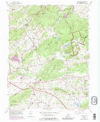
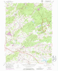
Hopewell Village National Historic Site and the surrounding woodlands of French Creek State Park anchor this landscape during the mid-1950s. The map illustrates a region transitioning from its industrial iron-making roots into a protected recreational and historic corridor. The Reading railroad line winds through the western hills, serving settlements like Geigertown and Scarlets Mill (White Bear Sta). To the south, the Pennsylvania Turnpike cuts a modern path across the drainage of Conestoga Creek, contrasting with the older network of local roads that connect rural landmarks such as St Pauls Ch and Central Sch. The terrain is defined by prominent ridges including Long Mtn and Welsh Mountain, while numerous small cemeteries like Morningside Cem and Warwick Cem offer significant touchpoints for genealogists tracing family names in the northern Chester County and southern Berks County area.
Find a feature on this map
57 named features on this map. Tap any name to fly to it.
Don’t see what you’re looking for? This feature index may not catch every label — zoom into the map to look around manually.
Map Details
Editions of this 1956 Elverson Map
6 editions found
Other maps of this area

1894 · Reading
USGS Topo · 1:62,500

1902 · Boyertown
USGS Topo · 1:62,500

1905 · Honey Brook
USGS Topo · 1:62,500

1906 · Phoenixville
USGS Topo · 1:62,500

1907 · Honeybrook
USGS Topo · 1:62,500

1913 · Reading
USGS Topo · 1:62,500

1915 · Reading
USGS Topo · 1:62,500

1941 · Honeybrook
USGS Topo · 1:62,500
1943 · Boyertown
USGS Topo · 1:31,680
1943 · Phoenixville
USGS Topo · 1:62,500
Featured Places
- Warwick Township, PA
- East Nantmeal Township, PA
- Elverson, PA
- Union Township, PA
- Scarlets Mill, Robeson Township