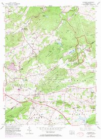
1956 Map of Elverson
USGS Topo · Published 1971About this map
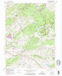
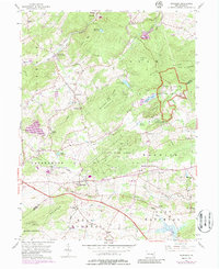
Elverson sits at a crossroads of early Pennsylvania industry and recreation, where the Reading railroad and the Pennsylvania Turnpike intersect the wooded heights of Welsh Mountain. This mid-century landscape preserves the 18th-century iron-making heritage at Hopewell Village National Historic Site, while showing the growth of public lands such as French Creek State Park and State Game Lands No 43. The terrain is defined by steep ridges like Long Mtn and Brush Hill, punctuated by early settlements like Geigertown and Scarlets Mill (White Bear Sta).
Find a feature on this map
62 named features on this map. Tap any name to fly to it.
Don’t see what you’re looking for? This feature index may not catch every label — zoom into the map to look around manually.
Map Details
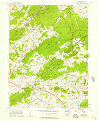
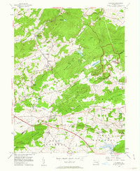
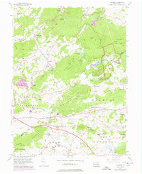
Editions of this 1956 Elverson Map
6 editions found
Other maps of this area

1894 · Reading
USGS Topo · 1:62,500

1902 · Boyertown
USGS Topo · 1:62,500

1905 · Honey Brook
USGS Topo · 1:62,500

1906 · Phoenixville
USGS Topo · 1:62,500

1907 · Honeybrook
USGS Topo · 1:62,500

1913 · Reading
USGS Topo · 1:62,500

1915 · Reading
USGS Topo · 1:62,500

1941 · Honeybrook
USGS Topo · 1:62,500
1943 · Boyertown
USGS Topo · 1:31,680
1943 · Phoenixville
USGS Topo · 1:62,500
Featured Places
- Warwick Township, PA
- East Nantmeal Township, PA
- Elverson, PA
- Union Township, PA
- Scarlets Mill, Robeson Township