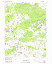
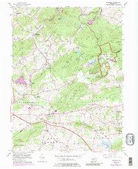
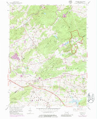
1956 Map of Elverson
USGS Topo · Published 1978About this map
The Hopewell Village National Historic Site and French Creek State Park anchor the eastern landscape of this Pennsylvania Dutch Country survey. The terrain is defined by prominent ridges like Welsh Mountain and Brush Hill, with the winding French Creek and its tributaries cutting through the valleys. The map documents a period of transition, showing the path of the Pennsylvania Turnpike cutting across the southern portion of the quadrangle while preserving the traditional rural character of settlements like Elverson and Geigertown.
Find a feature on this map
65 named features on this map. Tap any name to fly to it.
Don’t see what you’re looking for? This feature index may not catch every label — zoom into the map to look around manually.
Map Details
Editions of this 1956 Elverson Map
6 editions found
Other maps of this area

1894 · Reading
USGS Topo · 1:62,500

1902 · Boyertown
USGS Topo · 1:62,500

1905 · Honey Brook
USGS Topo · 1:62,500

1906 · Phoenixville
USGS Topo · 1:62,500

1907 · Honeybrook
USGS Topo · 1:62,500

1913 · Reading
USGS Topo · 1:62,500

1915 · Reading
USGS Topo · 1:62,500

1941 · Honeybrook
USGS Topo · 1:62,500
1943 · Boyertown
USGS Topo · 1:31,680
1943 · Phoenixville
USGS Topo · 1:62,500
Featured Places
- Warwick Township, PA
- East Nantmeal Township, PA
- Elverson, PA
- Union Township, PA
- Scarlets Mill, Robeson Township