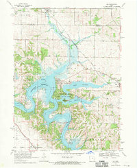
1968 Map of Ely
USGS Topo · Published 1970About this map
Lake Macbride State Park and the expansive waters of the Coralville Reservoir dominate this landscape during the late 1960s, reflecting a period of significant recreational development in East-Central Iowa. The Iowa River snakes through the southern portion of the quadrangle, while smaller tributaries like Hoosier Creek and Mill Creek drain the surrounding agricultural uplands. The settlement pattern shows a mix of established towns and newer residential clusters, including Ely in the north and Solon to the east, with Twin View Heights and North Liberty appearing on the periphery.
Find a feature on this map
40 named features on this map. Tap any name to fly to it.
Don’t see what you’re looking for? This feature index may not catch every label — zoom into the map to look around manually.
Map Details
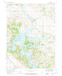
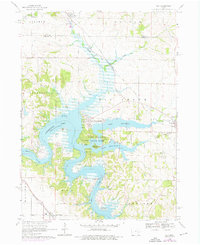
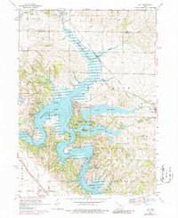
Editions of this 1968 Ely Map
4 editions found
Other maps of this area

1887 · Cedar Rapids
USGS Topo · 1:62,500

1891 · Mechanicsville
USGS Topo · 1:62,500

1891 · Cedar Rapids
USGS Topo · 1:62,500

1891 · Iowa City
USGS Topo · 1:62,500

1894 · Mechanicsville
USGS Topo · 1:62,500

1894 · West Liberty
USGS Topo · 1:62,500

1901 · Stanwood
USGS Topo · 1:125,000

1903 · Fairfax
USGS Topo · 1:125,000

1938 · Iowa City
USGS Topo · 1:62,500

1958 · Davenport
USGS Topo · 1:250,000