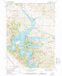
1968 Map of Ely
USGS Topo · Published 1986About this map
The Iowa River corridor north of North Liberty is defined by the massive impoundments of Coralville Lake and Lake Macbride. This 1968 survey, updated with 1975 photogrammetric revisions, documents a landscape where traditional agricultural land in Big Grove and Penn townships transitioned into a major regional recreation hub. The waters of Hoosier Creek and Lingle Creek feed into these reservoirs, which are flanked by the Lake Macbride State Park and the Sandy Beach Public Use Area.
Find a feature on this map
38 named features on this map. Tap any name to fly to it.
Don’t see what you’re looking for? This feature index may not catch every label — zoom into the map to look around manually.
Map Details
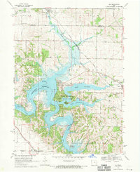
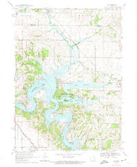
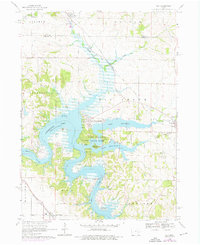
Editions of this 1968 Ely Map
4 editions found
Other maps of this area

1887 · Cedar Rapids
USGS Topo · 1:62,500

1891 · Mechanicsville
USGS Topo · 1:62,500

1891 · Cedar Rapids
USGS Topo · 1:62,500

1891 · Iowa City
USGS Topo · 1:62,500

1894 · Mechanicsville
USGS Topo · 1:62,500

1894 · West Liberty
USGS Topo · 1:62,500

1901 · Stanwood
USGS Topo · 1:125,000

1903 · Fairfax
USGS Topo · 1:125,000

1938 · Iowa City
USGS Topo · 1:62,500

1958 · Davenport
USGS Topo · 1:250,000