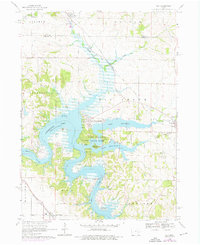
1968 Map of Ely
USGS Topo · Published 1976About this map
Lake Macbride State Park and the expansive waters of Coralville Lake dominate this mid-century survey of the Linn and Johnson County border. The landscape reveals a transition from traditional agricultural townships like College and Big Grove to a water-focused recreation area. Several family-named cemeteries, including Presbyterian Cem and Sulek Cem, remain preserved among the rising waters and new developments like Twin View Heights. The Chicago Rock Island and Pacific railroad cuts through the northern terrain near Ely, while the Iowa River feeds into the reservoir system. This survey documents the area just as modern infrastructure like Radio Towers and sewage disposal systems began to appear alongside long-standing rural landmarks like Hoosier Creek and the Church of God near North Liberty.
Find a feature on this map
41 named features on this map. Tap any name to fly to it.
Don’t see what you’re looking for? This feature index may not catch every label — zoom into the map to look around manually.
Map Details
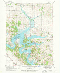
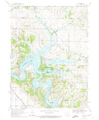
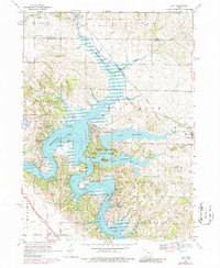
Editions of this 1968 Ely Map
4 editions found
Other maps of this area

1887 · Cedar Rapids
USGS Topo · 1:62,500

1891 · Mechanicsville
USGS Topo · 1:62,500

1891 · Cedar Rapids
USGS Topo · 1:62,500

1891 · Iowa City
USGS Topo · 1:62,500

1894 · Mechanicsville
USGS Topo · 1:62,500

1894 · West Liberty
USGS Topo · 1:62,500

1901 · Stanwood
USGS Topo · 1:125,000

1903 · Fairfax
USGS Topo · 1:125,000

1938 · Iowa City
USGS Topo · 1:62,500

1958 · Davenport
USGS Topo · 1:250,000