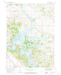
1968 Map of Ely
USGS Topo · Published 1974About this map
Coralville Lake and Lake Macbride dominate the central landscape of this late 1960s Iowa survey, illustrating the significant hydrological management of the Iowa River valley. The map documents the relationship between emerging recreation areas like Lake Macbride State Park and the established rural settlements of Ely and Solon. Local history is preserved through the locations of numerous small burying grounds, including Sulek Cem and Presbyterian Cem, which appear alongside rural icons like the Presbyterian Ch and the Church of God.
Find a feature on this map
40 named features on this map. Tap any name to fly to it.
Don’t see what you’re looking for? This feature index may not catch every label — zoom into the map to look around manually.
Map Details
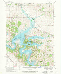
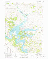
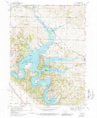
Editions of this 1968 Ely Map
4 editions found
Other maps of this area

1887 · Cedar Rapids
USGS Topo · 1:62,500

1891 · Mechanicsville
USGS Topo · 1:62,500

1891 · Cedar Rapids
USGS Topo · 1:62,500

1891 · Iowa City
USGS Topo · 1:62,500

1894 · Mechanicsville
USGS Topo · 1:62,500

1894 · West Liberty
USGS Topo · 1:62,500

1901 · Stanwood
USGS Topo · 1:125,000

1903 · Fairfax
USGS Topo · 1:125,000

1938 · Iowa City
USGS Topo · 1:62,500

1958 · Davenport
USGS Topo · 1:250,000