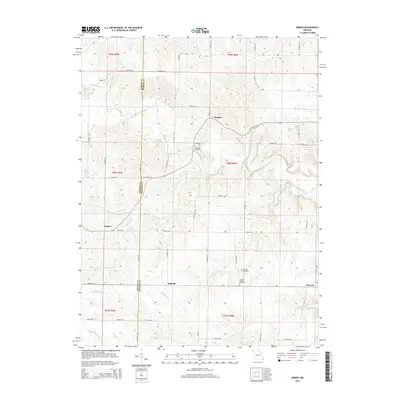
2014 Map of Emden
USGS Topo · Published 2014About this map
The Shelby Co Marion Co line bisects this portion of northeast Missouri, where a network of rural settlements and family cemeteries marks the landscape. Small hubs like Emden, Bellville, and Warren are connected by a grid of county roads that navigate the complex drainage systems of the North River and its numerous tributaries. These watercourses, including Hawkins Br and Moreland Br, have carved deep valleys into the terrain, influencing the placement of homes and agricultural tracts.
Find a feature on this map
57 named features on this map. Tap any name to fly to it.
Don’t see what you’re looking for? This feature index may not catch every label — zoom into the map to look around manually.
Map Details
Editions of this 2014 Emden Map
This is the sole edition of this map. No revisions or reprints were ever made.
Other maps of this area

1903 · Palmyra
USGS Topo · 1:125,000

1948 · Quincy
USGS Topo · 1:250,000

1949 · Durham
USGS Topo · 1:24,000

1949 · Philadelphia
USGS Topo · 1:24,000

1950 · Durham
USGS Topo · 1:24,000

1950 · Philadelphia
USGS Topo · 1:24,000

1956 · Quincy
USGS Topo · 1:250,000

1959 · Monroe City
USGS Topo · 1:24,000

1959 · Lakenan
USGS Topo · 1:24,000

1959 · Hunnewell
USGS Topo · 1:24,000