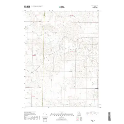
2017 Map of Emden
USGS Topo · Published 2017About this map
The small settlements of Emden and Warren anchor this rural landscape along the border of Shelby and Marion counties. This region is defined by the winding course of the North River and its numerous tributaries, including Tiger Fork, Merrills Br, and Hawkins Br. The terrain is characterized by a dense network of county roads, such as Co RD 178 and Co RD 268, which connect isolated homesteads and local landmarks.
Find a feature on this map
67 named features on this map. Tap any name to fly to it.
Don’t see what you’re looking for? This feature index may not catch every label — zoom into the map to look around manually.
Map Details
Editions of this 2017 Emden Map
This is the sole edition of this map. No revisions or reprints were ever made.
Other maps of this area
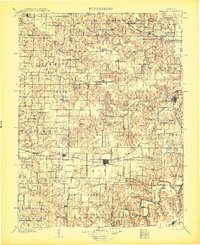
1903 · Palmyra
USGS Topo · 1:125,000
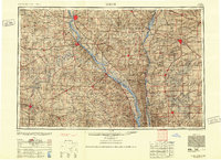
1948 · Quincy
USGS Topo · 1:250,000
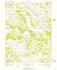
1949 · Durham
USGS Topo · 1:24,000
1949 · Philadelphia
USGS Topo · 1:24,000
1950 · Durham
USGS Topo · 1:24,000
1950 · Philadelphia
USGS Topo · 1:24,000
1956 · Quincy
USGS Topo · 1:250,000
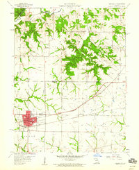
1959 · Monroe City
USGS Topo · 1:24,000
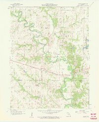
1959 · Lakenan
USGS Topo · 1:24,000
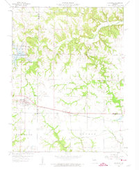
1959 · Hunnewell
USGS Topo · 1:24,000