
1963 Map of Emerado SW
USGS Topo · Published 1964About this map
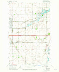
Pleasant View and Washington townships define this early 1960s agricultural landscape in Grand Forks County, where the topography is meticulously detailed with five-foot contour intervals. This survey, part of the development program for the Missouri River Basin, reveals a pattern of section-line roads and dispersed farmsteads characteristic of the Red River Valley. Local social centers are anchored by landmarks like Pleasant View Ch and Washington Ch, providing essential reference points for genealogists tracing family landholdings in the region.
Find a feature on this map
13 named features on this map. Tap any name to fly to it.
Don’t see what you’re looking for? This feature index may not catch every label — zoom into the map to look around manually.
Map Details
Editions of this 1963 Emerado SW Map
This is the sole edition of this map. No revisions or reprints were ever made.
Other maps of this area

1934 · Emerado
USGS Topo · 1:48,000

1936 · Emerado
USGS Topo · 1:62,500

1936 · Larimore
USGS Topo · 1:62,500

1952 · Grand Forks
USGS Topo · 1:250,000

1956 · Grand Forks
USGS Topo · 1:250,000

1963 · Larimore East
USGS Topo · 1:24,000

1963 · Kempton
USGS Topo · 1:24,000

1963 · Emerado SE
USGS Topo · 1:24,000
1963 · Emerado
USGS Topo · 1:24,000
1963 · Arvilla
USGS Topo · 1:24,000