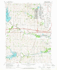
1964 Map of Emerald
USGS Topo · Published 1966About this map
Lincoln Air Force Base dominates the northern landscape of this mid-1960s survey, illustrating the significant military footprint west of Lincoln. Adjoining the base is the community of Huskerville, while the surrounding terrain of Garfield and Yankee Hill reveals a transition from agricultural use to organized recreation and state infrastructure. Significant water projects like Pawnee Lake and Conestoga Lake appear as prominent State Recreation Area destinations, contrasting with the industrial and civic sites found closer to the city center.
Find a feature on this map
28 named features on this map. Tap any name to fly to it.
Don’t see what you’re looking for? This feature index may not catch every label — zoom into the map to look around manually.
Map Details
Editions of this 1964 Emerald Map
3 editions found
Other maps of this area

1897 · Lincoln
USGS Topo · 1:125,000

1955 · Lincoln
USGS Topo · 1:250,000

1957 · Lincoln
USGS Topo · 1:250,000

1958 · Lincoln
USGS Topo · 1:250,000
1964 · Crete North
USGS Topo · 1:24,000
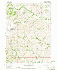
1964 · Garland
USGS Topo · 1:24,000

1964 · Denton
USGS Topo · 1:24,000

1964 · Roca
USGS Topo · 1:24,000
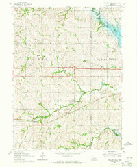
1964 · Pleasant Dale
USGS Topo · 1:24,000

1964 · Davey
USGS Topo · 1:24,000