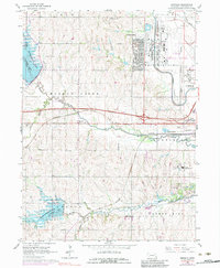
1964 Map of Emerald
USGS Topo · Published 1983About this map
Huskerville and the expansive grounds of the Lincoln Municipal Airport dominate the northern reaches of this landscape, reflecting the mid-century evolution of the Nebraska capital's outskirts. The central corridor is defined by the Burlington Northern railroad and the small settlement of Emerald, which serves as a gateway to the more rural sections of Lancaster County. Water management and recreational planning are prominent, with the newly established reservoir waters of Pawnee Lake and Conestoga Lake altering the traditional drainage patterns of Middle Creek and Haines Branch.
Find a feature on this map
28 named features on this map. Tap any name to fly to it.
Don’t see what you’re looking for? This feature index may not catch every label — zoom into the map to look around manually.
Map Details
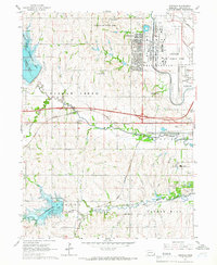
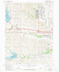
Editions of this 1964 Emerald Map
3 editions found
Other maps of this area

1897 · Lincoln
USGS Topo · 1:125,000

1955 · Lincoln
USGS Topo · 1:250,000

1957 · Lincoln
USGS Topo · 1:250,000

1958 · Lincoln
USGS Topo · 1:250,000
1964 · Crete North
USGS Topo · 1:24,000
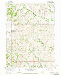
1964 · Garland
USGS Topo · 1:24,000

1964 · Denton
USGS Topo · 1:24,000

1964 · Roca
USGS Topo · 1:24,000
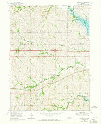
1964 · Pleasant Dale
USGS Topo · 1:24,000

1964 · Davey
USGS Topo · 1:24,000