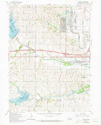
1964 Map of Emerald
USGS Topo · Published 1973About this map
Huskerville and West Lincoln stand at the edge of Nebraska's growing capital city during this mid-century period. The landscape is defined by the convergence of major infrastructure, including the Lincoln Municipal Airport and the tracks of the Burlington Northern and Union Pacific railroads. Outlying settlements like Emerald and Cushman remain distinct, while the expansion of Interstate 80 begins to reshape the township borders of Middle Creek and Garfield.
Find a feature on this map
34 named features on this map. Tap any name to fly to it.
Don’t see what you’re looking for? This feature index may not catch every label — zoom into the map to look around manually.
Map Details
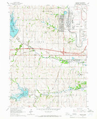
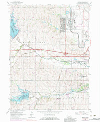
Editions of this 1964 Emerald Map
3 editions found
Other maps of this area

1897 · Lincoln
USGS Topo · 1:125,000

1955 · Lincoln
USGS Topo · 1:250,000

1957 · Lincoln
USGS Topo · 1:250,000

1958 · Lincoln
USGS Topo · 1:250,000
1964 · Crete North
USGS Topo · 1:24,000
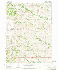
1964 · Garland
USGS Topo · 1:24,000

1964 · Denton
USGS Topo · 1:24,000

1964 · Roca
USGS Topo · 1:24,000
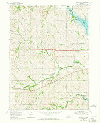
1964 · Pleasant Dale
USGS Topo · 1:24,000

1964 · Davey
USGS Topo · 1:24,000