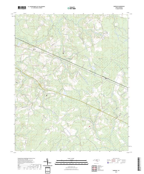
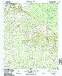
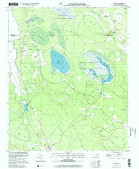
2022 Map of Emerson
USGS Topo · Published 2022About this map
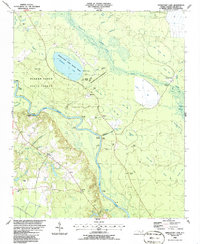
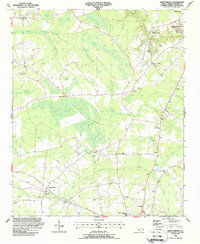
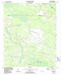
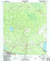
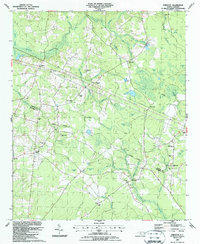
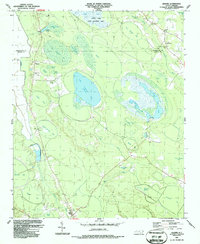
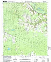
Elkton and Emerson anchor this landscape of the North Carolina coastal plain, where the drainage patterns of the Bladen Co and Columbus Co borderlands define the local geography. The area is characterized by an intricate network of wetlands, including the sprawling Elkton Swamp, Brown Marsh Swamp, and the interconnected Middle Swamp system. These waterlogged lowlands are dotted with numerous "bays" and ponds, such as Chancy Bay, Wildcat Bay, and Bear Pond, which have historically dictated the placement of roads and small settlements.
Find a feature on this map
99 named features on this map. Tap any name to fly to it.
Don’t see what you’re looking for? This feature index may not catch every label — zoom into the map to look around manually.
Map Details
Editions of this 2022 Emerson Map
This is the sole edition of this map. No revisions or reprints were ever made.
Historical Maps of North Carolina Through Time
23 maps found
1986 Council
Bladen County, NC
1986 Duart
Bladen County, NC
1986 Rowan
Bladen County, NC
1986 Singletary Lake
Bladen County, NC
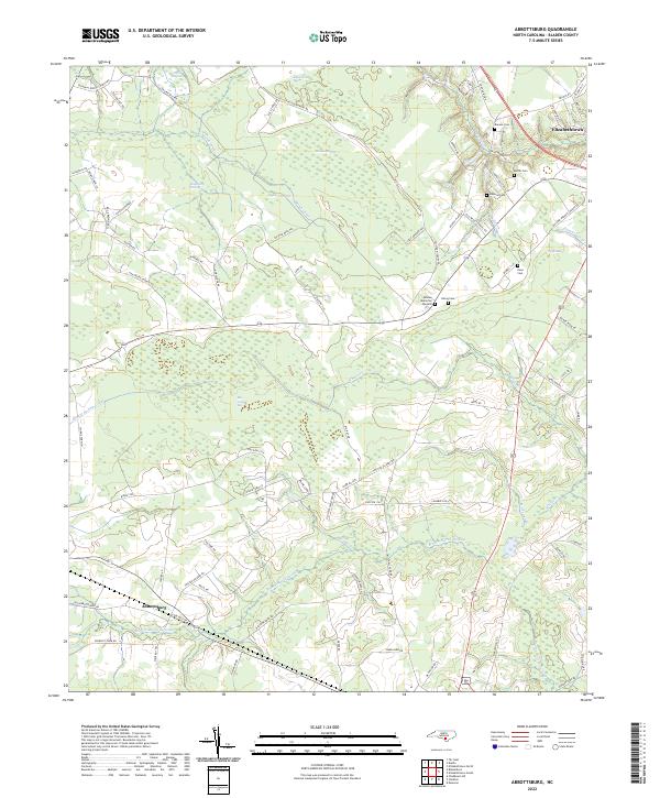
1987 Abbottsburg
Bladen County, NC
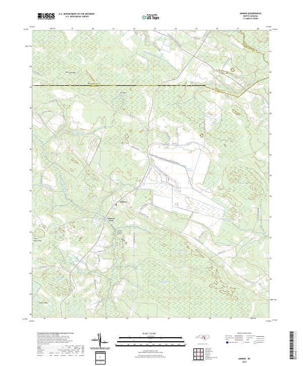
1987 Ammon
Bladen County, NC
1987 Elizabethtown North
Bladen County, NC
1987 Elizabethtown South
Bladen County, NC
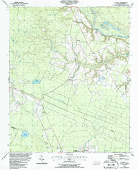
1987 Emerson
Bladen County, NC
1987 Jerome
Bladen County, NC
2002 Council
Bladen County, NC
2002 Jerome
Bladen County, NC
2002 Singletary Lake
Bladen County, NC
2022 Abbottsburg
Bladen County, NC
2022 Ammon
Bladen County, NC
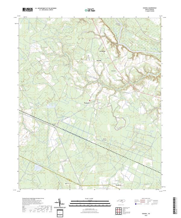
2022 Council
Bladen County, NC
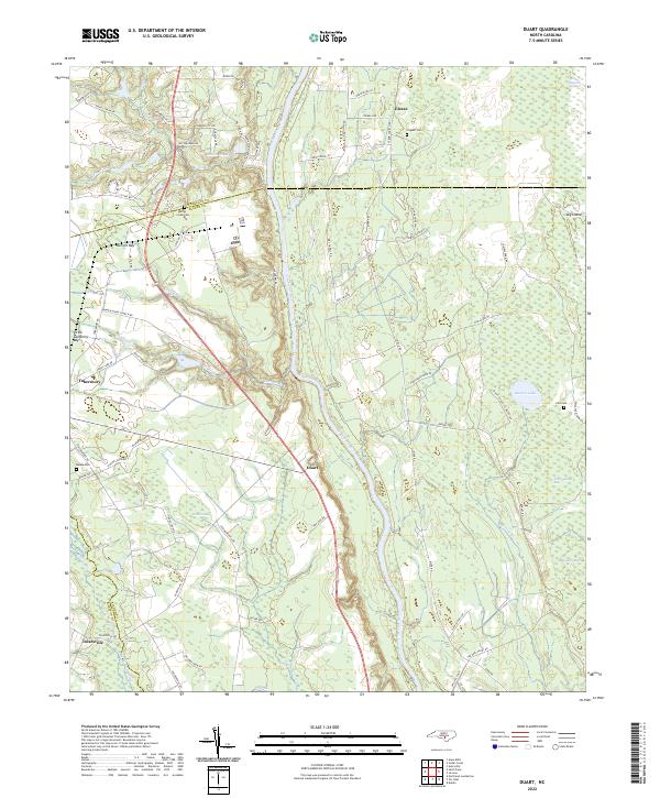
2022 Duart
Bladen County, NC
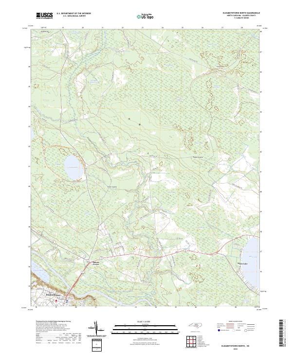
2022 Elizabethtown North
Bladen County, NC
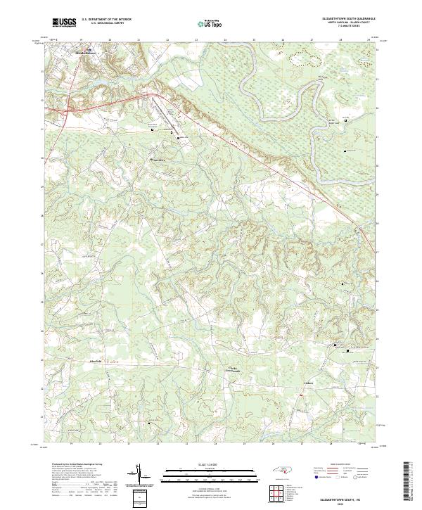
2022 Elizabethtown South
Bladen County, NC
2022 Emerson
Bladen County, NC
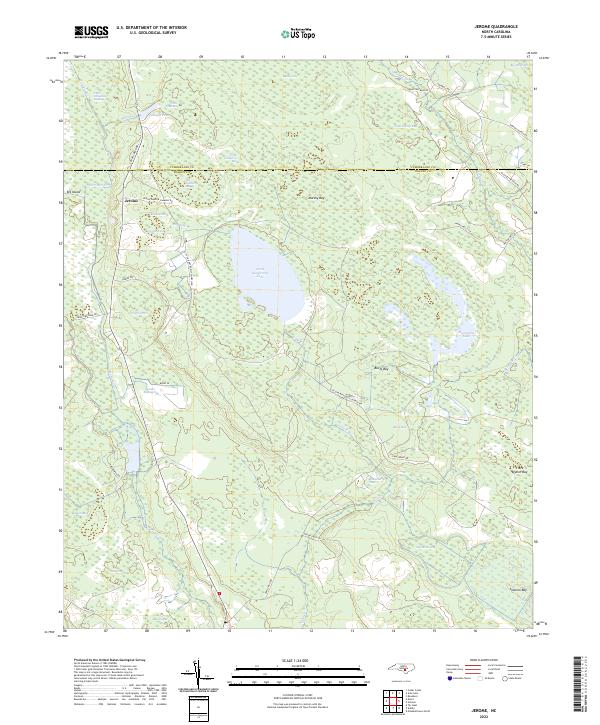
2022 Jerome
Bladen County, NC
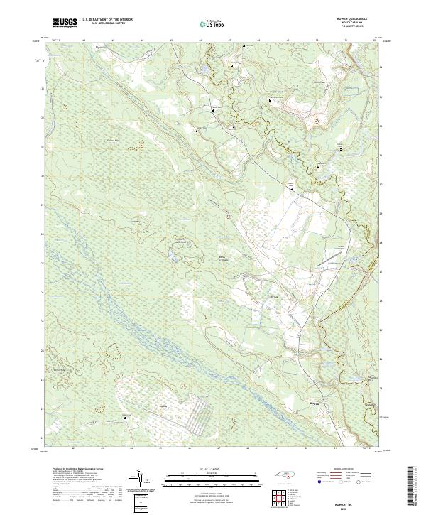
2022 Rowan
Bladen County, NC
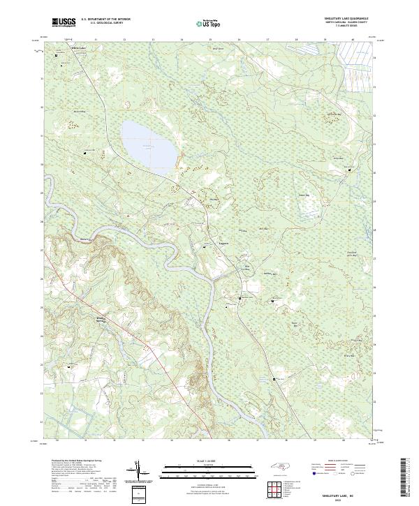
2022 Singletary Lake
Bladen County, NC