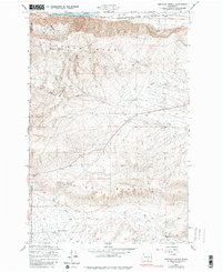
1948 Map of Emerson Nipple
USGS Topo · Published 1980About this map
The Columbia River forms the northern boundary of this high-desert landscape, where the Chicago Milwaukee St Paul and Pacific railroad follows the shoreline past China Bar. Inland, the terrain is dominated by the massive parallel elevations of Umtanum Ridge and Yakima Ridge, separated by a complex system of drainages including Cold Creek and Dry Creek. High points such as Emerson Nipple and the deeply incised McCoy Canyon define the area's sharp vertical relief. Human presence is sparse, centered on isolated water sources like Juniper Springs and Barrel Springs, and ranching operations such as Roberts Ranch near the southern boundary. This 1948 survey, photoinspected in 1975, captures a remote section of the Yakima and Benton County line before modern developments altered the surrounding agricultural and industrial use of the land.
Find a feature on this map
14 named features on this map. Tap any name to fly to it.
Don’t see what you’re looking for? This feature index may not catch every label — zoom into the map to look around manually.
Map Details
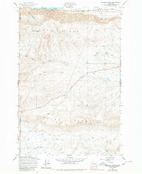
Editions of this 1948 Emerson Nipple Map
Other maps of this area

1915 · Prosser
USGS Topo · 1:125,000

1916 · Coyote Rapids
USGS Topo · 1:62,500

1917 · Priest Rapids
USGS Topo · 1:62,500

1917 · Prosser
USGS Topo · 1:125,000

1948 · Cairn Hope Peak
USGS Topo · 1:24,000

1948 · Emerson Nipple
USGS Topo · 1:24,000

1948 · Priest Rapids
USGS Topo · 1:24,000

1950 · Grandview
USGS Topo · 1:62,500

1951 · Priest Rapids
USGS Topo · 1:62,500

1951 · Grandview
USGS Topo · 1:62,500