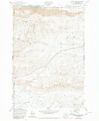
1948 Map of Emerson Nipple
USGS Topo · Published 1980About this map
Umtanum Ridge and Yakima Ridge define the landscape of this region, which was surveyed in the late 1940s before significant modern alteration. The northern edge of the map is dominated by the Columbia River, where the Chicago Milwaukee St Paul and Pacific railroad tracks trace the shoreline near China Bar. This area of central Washington reflects a sparse, ranch-oriented settlement pattern, anchored by the Roberts Ranch in the south.
Find a feature on this map
14 named features on this map. Tap any name to fly to it.
Don’t see what you’re looking for? This feature index may not catch every label — zoom into the map to look around manually.
Map Details
Editions of this 1948 Emerson Nipple Map
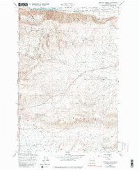
Other maps of this area

1915 · Prosser
USGS Topo · 1:125,000

1916 · Coyote Rapids
USGS Topo · 1:62,500

1917 · Priest Rapids
USGS Topo · 1:62,500

1917 · Prosser
USGS Topo · 1:125,000

1948 · Cairn Hope Peak
USGS Topo · 1:24,000

1948 · Emerson Nipple
USGS Topo · 1:24,000

1948 · Priest Rapids
USGS Topo · 1:24,000

1950 · Grandview
USGS Topo · 1:62,500

1951 · Priest Rapids
USGS Topo · 1:62,500

1951 · Grandview
USGS Topo · 1:62,500