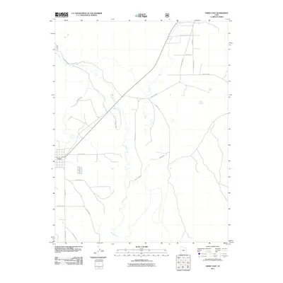
2011 Map of Emery East
USGS Topo · Published 2011About this map
Muddy Creek meanders through this high desert region of central Utah, providing the vital water source for the settlement of Emery. The map documents a sophisticated irrigation network essential for local agriculture, including the Emery Canal and the Rochester Canal, which draw from the creek's drainage to support the surrounding fields. This 2011 survey reveals a landscape where modern county infrastructure, such as County Hwy-802 and Moore Rd, overlays a traditional rural layout defined by ranching and water rights. North of the town center, Bills Fork joins the primary waterway, while a web of secondary routes like S Moore Rd and County Rd-805 connect the outlying ranch lands and agricultural plots that sustain this Emery County community.
Find a feature on this map
19 named features on this map. Tap any name to fly to it.
Don’t see what you’re looking for? This feature index may not catch every label — zoom into the map to look around manually.
Map Details
Editions of this 2011 Emery East Map
This is the sole edition of this map. No revisions or reprints were ever made.
Other maps of this area

1885 · Manti
USGS Topo · 1:250,000

1885 · Fish Lake
USGS Topo · 1:250,000

1895 · Manti
USGS Topo · 1:250,000

1896 · Fish Lake
USGS Topo · 1:250,000

1922 · Wasatch
USGS Topo · 1:31,680

1923 · Castle Dale
USGS Topo · 1:62,500

1925 · Castle Dale
USGS Topo · 1:62,500

1925 · Acord Lakes
USGS Topo · 1:62,500

1953 · Emery 1 NE
USGS Topo · 1:24,000

1953 · Emery 1 SE
USGS Topo · 1:24,000