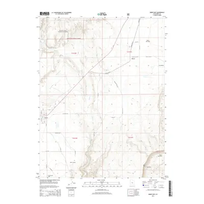
2014 Map of Emery East
USGS Topo · Published 2014About this map
The settlement of Emery serves as a focal point for this 2014 survey, which reveals an intricate irrigation network vital to the High Plateau region. The Rochester Canal and Emery Canal divert water from Muddy Cr to support local agriculture, a system that has historically sustained these high-desert communities. To the north, the small community of Moore sits at the junction of the E Moore Cutoff Rd, highlighting the connectivity between isolated settlements.
Find a feature on this map
44 named features on this map. Tap any name to fly to it.
Don’t see what you’re looking for? This feature index may not catch every label — zoom into the map to look around manually.
Map Details
Editions of this 2014 Emery East Map
This is the sole edition of this map. No revisions or reprints were ever made.
Other maps of this area

1885 · Manti
USGS Topo · 1:250,000

1885 · Fish Lake
USGS Topo · 1:250,000

1895 · Manti
USGS Topo · 1:250,000

1896 · Fish Lake
USGS Topo · 1:250,000

1922 · Wasatch
USGS Topo · 1:31,680

1923 · Castle Dale
USGS Topo · 1:62,500

1925 · Castle Dale
USGS Topo · 1:62,500

1925 · Acord Lakes
USGS Topo · 1:62,500

1953 · Emery 1 NE
USGS Topo · 1:24,000

1953 · Emery 1 SE
USGS Topo · 1:24,000