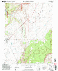
2001 Map of Emery East
USGS Topo · Published 2004About this map
Manti-La Sal National Forest dominates the northwestern reaches of this 2001 revision, where the Ferron Ranger District manages the high ground above the desert floor. The landscape is defined by the striking geology of the Molen Reef Cliffs and the deep incision of Miller Canyon. Water management is central to the settlement pattern here, as seen in the extensive Emery Canal system that supports the town of Emery.
Find a feature on this map
17 named features on this map. Tap any name to fly to it.
Don’t see what you’re looking for? This feature index may not catch every label — zoom into the map to look around manually.
Map Details
Editions of this 2001 Emery East Map
This is the sole edition of this map. No revisions or reprints were ever made.
Other maps of this area

1885 · Manti
USGS Topo · 1:250,000

1885 · Fish Lake
USGS Topo · 1:250,000

1895 · Manti
USGS Topo · 1:250,000

1896 · Fish Lake
USGS Topo · 1:250,000

1922 · Wasatch
USGS Topo · 1:31,680

1923 · Castle Dale
USGS Topo · 1:62,500

1925 · Castle Dale
USGS Topo · 1:62,500

1925 · Acord Lakes
USGS Topo · 1:62,500

1953 · Emery 1 NE
USGS Topo · 1:24,000

1953 · Emery 1 SE
USGS Topo · 1:24,000