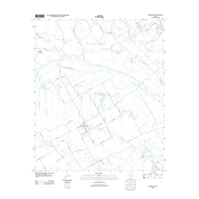
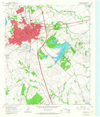
2012 Map of Emhouse
USGS Topo · Published 2012About this map
Emhouse serves as the focal point for this rural Navarro County landscape, where the local road network converges around a small residential grid. To the northeast, the community of Rice sits near the upper reaches of Cummins Cr, while the settlement of Onion Creek is positioned near the confluence of Big Onion Cr and Waxahachie Cr. The area is defined by an extensive system of water management features, including several large reservoirs such as Reservoir Number One Hundred Twentyone and Reservoir Number One Hundred Twentyfour, which highlight the region's agricultural infrastructure.
Find a feature on this map
79 named features on this map. Tap any name to fly to it.
Don’t see what you’re looking for? This feature index may not catch every label — zoom into the map to look around manually.
Map Details
Editions of this 2012 Emhouse Map
This is the sole edition of this map. No revisions or reprints were ever made.
Other maps of this area

1954 · Dallas
USGS Topo · 1:250,000
1956 · Ennis
USGS Topo · 1:62,500

1958 · Dallas
USGS Topo · 1:250,000
1961 · Chatfield
USGS Topo · 1:24,000
1962 · Emhouse
USGS Topo · 1:24,000
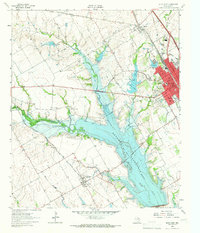
1962 · Ennis West
USGS Topo · 1:24,000
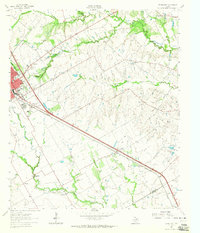
1962 · Ennis East
USGS Topo · 1:24,000
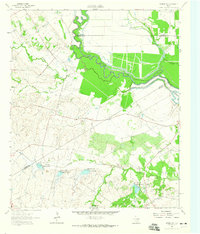
1962 · Rosser SW
USGS Topo · 1:24,000
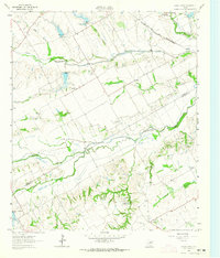
1962 · Cryer Creek
USGS Topo · 1:24,000
1965 · Corsicana
USGS Topo · 1:24,000