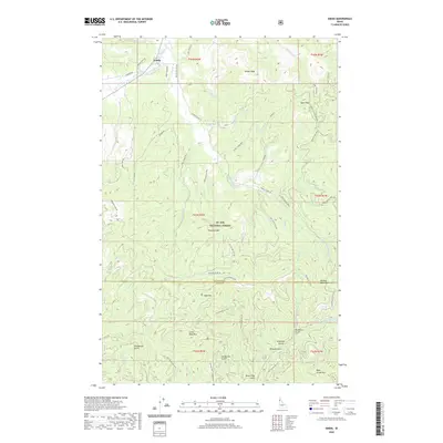
2020 Map of Emida
USGS Topo · Published 2020About this map
Emida serves as the primary settlement on this landscape, situated near the headwaters of Santa Cr and Charlie Cr. The terrain is dominated by the dense canopy of the St. Joe National Forest, where a network of forest roads and off-highway vehicle trails like the Eena Creek Ohv and Hume Ridge Ohv provide access to the timbered high ground. Significant peaks including Emida Peak, Tyson Peak, and Preston Knob define the local topography, while the boundary between Benewah and Latah counties bisects the southern reaches of the quadrangle.
Find a feature on this map
71 named features on this map. Tap any name to fly to it.
Don’t see what you’re looking for? This feature index may not catch every label — zoom into the map to look around manually.
Map Details
Editions of this 2020 Emida Map
This is the sole edition of this map. No revisions or reprints were ever made.
Other maps of this area
1955 · Pullman
USGS Topo · 1:250,000
1955 · Spokane
USGS Topo · 1:250,000
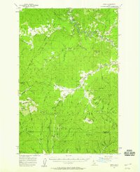
1957 · Emida
USGS Topo · 1:62,500
1958 · Spokane
USGS Topo · 1:250,000
1958 · Pullman
USGS Topo · 1:250,000
1961 · Deary
USGS Topo · 1:62,500
1961 · Fernwood
USGS Topo · 1:62,500
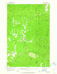
1961 · Bovill
USGS Topo · 1:62,500
1981 · St Maries
USGS Topo · 1:100,000
1981 · Potlatch
USGS Topo · 1:100,000