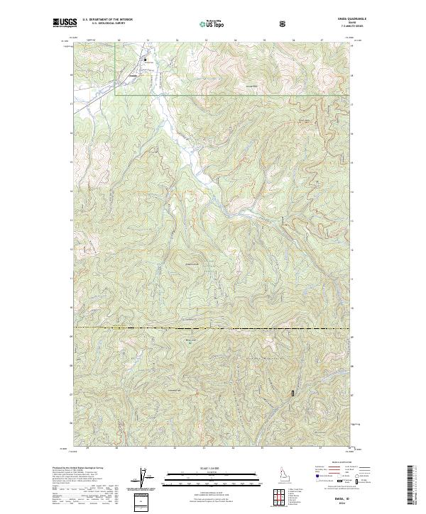
2024 Map of Emida
USGS Topo · Published 2024About this map
Emida serves as the primary settlement hub in this part of northern Idaho, situated near the confluence of Santa Creek and Hume Creek. This 2024 survey documents the complex landscape of the St Joe National Forest, where a dense network of forest development roads and off-highway vehicle trails, such as the Upper Tyson Divide Ohv Trl and Fagan-Preston Ohv Trl, crisscross the timbered slopes. The geography is defined by the Hoodoo Mountains and prominent summits like Emida Peak and Bald Mtn. To the south, the terrain drops toward the North Fork Palouse River drainage, marking the transition from the Benewah and Latah County line. Local history is anchored at the Emida Cem, while the industrial and recreational use of the land is evident in the numerous named gulches like Moscow Gulch and Eldorado Gulch.
Find a feature on this map
75 named features on this map. Tap any name to fly to it.
Don’t see what you’re looking for? This feature index may not catch every label — zoom into the map to look around manually.
Map Details
Editions of this 2024 Emida Map
This is the sole edition of this map. No revisions or reprints were ever made.
Other maps of this area

1955 · Pullman
USGS Topo · 1:250,000

1955 · Spokane
USGS Topo · 1:250,000

1957 · Emida
USGS Topo · 1:62,500

1958 · Spokane
USGS Topo · 1:250,000

1958 · Pullman
USGS Topo · 1:250,000

1961 · Deary
USGS Topo · 1:62,500

1961 · Fernwood
USGS Topo · 1:62,500

1961 · Bovill
USGS Topo · 1:62,500

1981 · St Maries
USGS Topo · 1:100,000

1981 · Potlatch
USGS Topo · 1:100,000