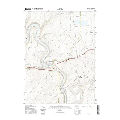
2016 Map of Emlenton
USGS Topo · Published 2016About this map
The Allegheny River carves a deep, serpentine path through the landscape of Venango, Clarion, and Butler counties, forming the central corridor for several riverfront communities. The borough of Emlenton occupies a prominent bend in the river, serving as a focal point near the intersection of several major regional boundaries. Further downstream, the town of Foxburg sits at the confluence where the Clarion River meets the Allegheny, a site marked by the historic Memorial Episcopal Church of Our Father Cem.
Find a feature on this map
109 named features on this map. Tap any name to fly to it.
Don’t see what you’re looking for? This feature index may not catch every label — zoom into the map to look around manually.
Map Details
Editions of this 2016 Emlenton Map
This is the sole edition of this map. No revisions or reprints were ever made.
Other maps of this area

1907 · Foxburg
USGS Topo · 1:62,500

1908 · Foxburg
USGS Topo · 1:62,500

1909 · Franklin
USGS Topo · 1:62,500

1910 · Hilliards
USGS Topo · 1:62,500

1911 · Franklin
USGS Topo · 1:62,500

1912 · Hilliards
USGS Topo · 1:62,500

1922 · Oil City
USGS Topo · 1:48,000

1924 · Oil City
USGS Topo · 1:62,500

1943 · Oil City
USGS Topo · 1:62,500

1944 · Hilliards
USGS Topo · 1:62,500