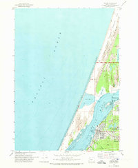
1970 Map of Empire
USGS Topo · Published 1973About this map
The coastal community of Empire is situated along the eastern shore of Coos Bay during a period of transition in the early 1970s. The map illustrates the industrial and educational development of the region, anchored by the Southwestern Oregon Community College campus and the infrastructure of the North Bend Municipal Airport. To the west, the massive North Spit acts as a natural barrier between the bay and the Pacific Ocean, characterized by extensive Sand Dunes and the southern reaches of the Oregon Dunes National Recreation Area. These shifting sands have created unique freshwater features like Horsfall Lake and Bluebill Lake within the Siuslaw National Forest. Local industrial footprints are visible through the Industrial Waste Pond and the Sitka Dock, contrasting with the recreational draws of Empire Lakes and Radar Hill.
Find a feature on this map
30 named features on this map. Tap any name to fly to it.
Don’t see what you’re looking for? This feature index may not catch every label — zoom into the map to look around manually.
Map Details
Editions of this 1970 Empire Map
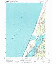
2 editions found
Other maps of this area

1896 · Coos Bay
USGS Topo · 1:125,000

1898 · Coos Bay
USGS Topo · 1:125,000

1900 · Coos Bay
USGS Topo · 1:125,000

1923 · Reedsport
USGS Topo · 1:62,500

1942 · Reedsport
USGS Topo · 1:62,500

1942 · Empire
USGS Topo · 1:62,500

1942 · Coos Bay
USGS Topo · 1:62,500

1944 · Empire
USGS Topo · 1:62,500

1945 · Coos Bay
USGS Topo · 1:62,500

1954 · Coos Bay
USGS Topo · 1:250,000