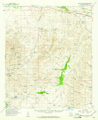
1958 Map of Empire Mountains
USGS Topo · Published 1961About this map
The Empire Mountains and the eastern slopes of the Santa Rita Mountains dominate this landscape southeast of Tucson, where cattle ranching and mining define the mid-century economy. The presence of the Empire Ranch and its nearby Empire Sch highlights the self-sufficiency of these isolated desert outposts, while other family-named sites like Andrada Ranch and Thurber Ranch dot the drainages of Davidson Canyon and Cienega Creek.
Find a feature on this map
82 named features on this map. Tap any name to fly to it.
Don’t see what you’re looking for? This feature index may not catch every label — zoom into the map to look around manually.
Map Details
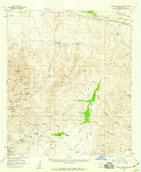
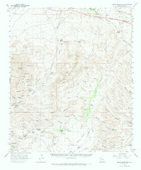
Editions of this 1958 Empire Mountains Map
3 editions found
Other maps of this area

1904 · Patagonia
USGS Topo · 1:125,000

1904 · Tucson
USGS Topo · 1:125,000

1905 · Patagonia
USGS Topo · 1:125,000

1905 · Tucson
USGS Topo · 1:125,000

1915 · Benson
USGS Topo · 1:125,000

1922 · Agus Caliente
USGS Topo · 1:62,500

1926 · Whetstone
USGS Topo · 1:62,500

1926 · Helvetia
USGS Topo · 1:62,500

1932 · Elgin
USGS Topo · 1:62,500

1938 · Huachuca
USGS Topo · 1:62,500