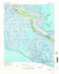
1960 Map of Empire
USGS Topo · Published 1963About this map
Mississippi River transport and a burgeoning petroleum industry define this 1960 coastal survey of Plaquemines Parish. The landscape is a complex network of bays and passes, where settlements like Empire, Port Sulphur, and Buras cling to the narrow natural levees between the river and the surrounding marsh. The map captures the infrastructure of the era's energy economy, detailing the Potash Oil Field, Cox Bay Oil Field, and the Bastian Bay Oil and Gas Field. Communities along the river are marked by local landmarks such as St Patrick Ch, Nairn PO, and the Rosa Lane Cem. This document preserves the fragile geography of the delta before significant coastal erosion changed many of these landforms, showing the relation of schools like Sunrise Sch and churches like Pilgrim Rest Ch to the winding river road.
Find a feature on this map
75 named features on this map. Tap any name to fly to it.
Don’t see what you’re looking for? This feature index may not catch every label — zoom into the map to look around manually.
Map Details
Editions of this 1960 Empire Map
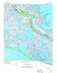
2 editions found
Other maps of this area

1891 · Pointe a La Hache
USGS Topo · 1:62,500

1892 · Quarantine
USGS Topo · 1:62,500

1892 · Pointe a La Hache
USGS Topo · 1:62,500

1893 · La Fortuna
USGS Topo · 1:62,500

1893 · Forts
USGS Topo · 1:62,500

1893 · Fort Livingston
USGS Topo · 1:62,500

1893 · Dime
USGS Topo · 1:62,500

1893 · West Delta
USGS Topo · 1:62,500

1935 · Port Sulphur
USGS Topo · 1:31,680

1935 · Bastian Bay
USGS Topo · 1:31,680