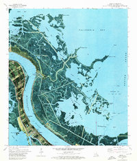
1973 Map of Empire
USGS Topo · Published 1976About this map
Empire stands at the vital intersection of the Mississippi River and the Doullut Canal in this 1970s orthophotomap of Plaquemines Parish. The landscape is defined by the heavy infrastructure of the delta's petroleum economy, with the Cox Bay Oil and Gas Field and Quarantine Bay Oil and Gas Field dotting the surrounding marshes with platforms and pipelines. The transition from river commerce to the coastal wetlands is facilitated by the Empire Lock and protected by the Empire Levee. For those researching local history or genealogy, the map identifies small markers of settlement like Cannon Cem and Point Pleasant Cem at Point Pleasant. To the east, the Bohemia Spillway Wildlife Management Area covers a complex network of bays, including Bay la Mer and California Bay, illustrating the precarious balance between industrial use and the natural environment of Breton Sound.
Find a feature on this map
62 named features on this map. Tap any name to fly to it.
Don’t see what you’re looking for? This feature index may not catch every label — zoom into the map to look around manually.
Map Details
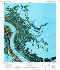
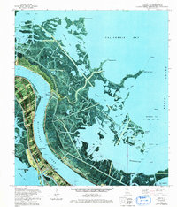
Editions of this 1973 Empire Map
3 editions found
Other maps of this area

1892 · Quarantine
USGS Topo · 1:62,500

1893 · La Fortuna
USGS Topo · 1:62,500

1893 · Forts
USGS Topo · 1:62,500

1893 · Dime
USGS Topo · 1:62,500

1935 · Port Sulphur
USGS Topo · 1:31,680

1935 · Bastian Bay
USGS Topo · 1:31,680

1935 · Tropical Bend
USGS Topo · 1:31,680

1941 · Black Bay
USGS Topo · 1:62,500

1941 · Empire
USGS Topo · 1:62,500
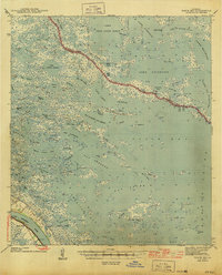
1944 · Black Bay
USGS Topo · 1:62,500