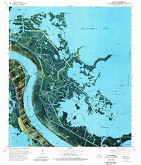
1973 Map of Empire
USGS Topo · Published 1989About this map
The Mississippi River serves as the central artery for this 1970s orthophotomap, where the industrial footprint of Plaquemines Parish meets the fragile wetland ecology of the delta. The settlement of Empire is clearly defined by its maritime and petroleum infrastructure, featuring the Empire Lock and the Canal connecting the river to the sprawling bay systems. Evidence of the region's economic drivers is visible through the Pipeline corridors and the Oil and Gas Field extending into Quarantine Bay.
Find a feature on this map
44 named features on this map. Tap any name to fly to it.
Don’t see what you’re looking for? This feature index may not catch every label — zoom into the map to look around manually.
Map Details
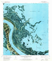
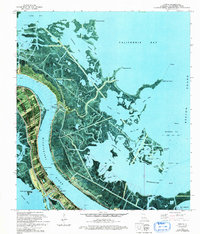
Editions of this 1973 Empire Map
3 editions found
Other maps of this area

1892 · Quarantine
USGS Topo · 1:62,500

1893 · La Fortuna
USGS Topo · 1:62,500

1893 · Forts
USGS Topo · 1:62,500

1893 · Dime
USGS Topo · 1:62,500

1935 · Port Sulphur
USGS Topo · 1:31,680

1935 · Bastian Bay
USGS Topo · 1:31,680

1935 · Tropical Bend
USGS Topo · 1:31,680

1941 · Black Bay
USGS Topo · 1:62,500

1941 · Empire
USGS Topo · 1:62,500
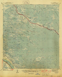
1944 · Black Bay
USGS Topo · 1:62,500