
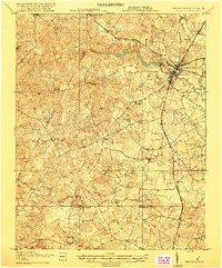
1919 Map of Emporia
USGS Topo · Published 1919About this map
Emporia and North Emporia serve as the primary commercial and transport hubs on this 1918 survey, situated at the critical junction of the Southern and Norfolk and the Atlantic Coast Line railroads. The landscape is defined by the winding course of the Meherrin River and its numerous tributaries, including Fontaine Creek and Falling Run. This era reveals a decentralized network of rural communities such as Pleasant Shade, Brink, and Ante, where local life centered around country institutions like Round Hill Church and the Rockbridge School.
Find a feature on this map
45 named features on this map. Tap any name to fly to it.
Don’t see what you’re looking for? This feature index may not catch every label — zoom into the map to look around manually.
Map Details
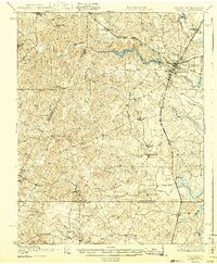
Editions of this 1919 Emporia Map
3 editions found
Other maps of this area

1918 · Lawrenceville
USGS Topo · 1:62,500

1919 · Jarratt
USGS Topo · 1:62,500

1919 · Mc Kenney
USGS Topo · 1:48,000

1919 · White Plains
USGS Topo · 1:48,000

1919 · Arringdale
USGS Topo · 1:48,000

1920 · Lawrenceville
USGS Topo · 1:48,000

1920 · White Plains
USGS Topo · 1:62,500

1920 · Arringdale
USGS Topo · 1:62,500

1921 · Mc Kenney
USGS Topo · 1:62,500

1921 · Lawrenceville
USGS Topo · 1:62,500