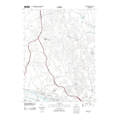
2010 Map of Emsworth
USGS Topo · Published 2010About this map
The Ohio River corridor north of Pittsburgh defines the landscape of this 2010 survey, showcasing the dense suburban development and infrastructure of Allegheny County. Critical river navigation points like the Emsworth Dam and Emsworth Back Channel Dam near Neville Island sit alongside residential hubs in Emsworth, Ben Avon, and Avalon. Further north, the geography shifts toward major recreation and utility sites including the North Park Golf Course and North Park Lake.
Find a feature on this map
97 named features on this map. Tap any name to fly to it.
Don’t see what you’re looking for? This feature index may not catch every label — zoom into the map to look around manually.
Map Details
Editions of this 2010 Emsworth Map
This is the sole edition of this map. No revisions or reprints were ever made.
Other maps of this area

1904 · Mc Keesport
USGS Topo · 1:62,500

1904 · Carnegie
USGS Topo · 1:62,500

1906 · Carnegie
USGS Topo · 1:62,500

1906 · Sewickley
USGS Topo · 1:62,500

1907 · Pittsburg
USGS Topo · 1:62,500

1908 · Sewickley
USGS Topo · 1:62,500

1908 · Carnegie
USGS Topo · 1:62,500

1908 · New Kensington
USGS Topo · 1:62,500

1910 · New Kensington
USGS Topo · 1:62,500

1948 · Pittsburgh West
USGS Topo · 1:24,000