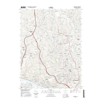
2016 Map of Emsworth
USGS Topo · Published 2016About this map
The Ohio River corridor and the northern suburbs of Pittsburgh define this landscape, where steep ravines and winding runs have historically dictated the patterns of settlement. Along the river, the industrial and transport character is evident near Neville Island and the shallow waters of Whites Ripple, while the uplands transition into the residential and institutional clusters of Ross Township and McCandless Township. This area is notable for its high density of denominational cemeteries and religious institutions, which serve as a record of the region's diverse community roots.
Find a feature on this map
113 named features on this map. Tap any name to fly to it.
Don’t see what you’re looking for? This feature index may not catch every label — zoom into the map to look around manually.
Map Details
Editions of this 2016 Emsworth Map
This is the sole edition of this map. No revisions or reprints were ever made.
Other maps of this area

1904 · Mc Keesport
USGS Topo · 1:62,500

1904 · Carnegie
USGS Topo · 1:62,500

1906 · Carnegie
USGS Topo · 1:62,500

1906 · Sewickley
USGS Topo · 1:62,500

1907 · Pittsburg
USGS Topo · 1:62,500

1908 · Sewickley
USGS Topo · 1:62,500

1908 · Carnegie
USGS Topo · 1:62,500

1908 · New Kensington
USGS Topo · 1:62,500

1910 · New Kensington
USGS Topo · 1:62,500

1948 · Pittsburgh West
USGS Topo · 1:24,000