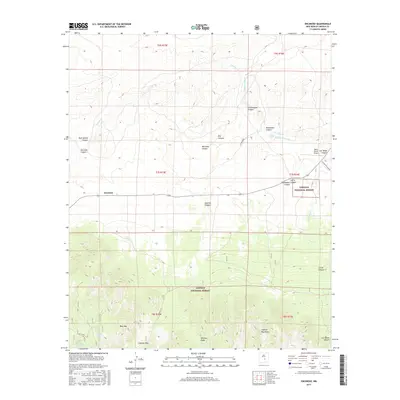
2017 Map of Encinoso
USGS Topo · Published 2017About this map
Encinoso sits at the northern threshold of the Lincoln National Forest, where the high desert terrain begins its ascent into the Capitan Mountains. This landscape is defined by its drainages and springs, essential features in an arid environment, including Macho Spring, Koprian Spring, and the seasonal flow of Carrizo Cr. The southern portion of the map is dominated by the steep slopes of Minckey Ridge and West Mtn, separated by the high-elevation Capitan Pass.
Find a feature on this map
34 named features on this map. Tap any name to fly to it.
Don’t see what you’re looking for? This feature index may not catch every label — zoom into the map to look around manually.
Map Details
Editions of this 2017 Encinoso Map
This is the sole edition of this map. No revisions or reprints were ever made.
Other maps of this area

1934 · Capitan
USGS Topo · 1:48,000

1935 · Capitan Mountains
USGS Topo · 1:48,000

1937 · Capitan
USGS Topo · 1:62,500

1940 · Capitan Mountains
USGS Topo · 1:62,500

1955 · Roswell
USGS Topo · 1:250,000

1958 · Roswell
USGS Topo · 1:250,000

1962 · Roswell
USGS Topo · 1:250,000

1973 · Jacob Spring
USGS Topo · 1:24,000

1973 · Jicarilla Peak
USGS Topo · 1:24,000
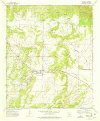
1973 · Capitan
USGS Topo · 1:24,000