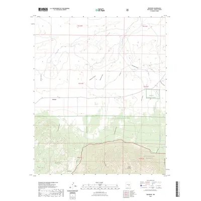
2023 Map of Encinoso
USGS Topo · Published 2023About this map
Encinoso stands as a focal point in this high-elevation landscape where the northern foothills meet the dramatic ascent of the Capitan Mountains. The terrain is defined by a series of deep drainage systems, including Richardson Canyon and Cottonwood Canyon, which carry seasonal runoff toward Las Tablas Creek and the Arroyo del Macho. These watercourses were vital for early ranching and transit through the region's difficult topography.
Find a feature on this map
31 named features on this map. Tap any name to fly to it.
Don’t see what you’re looking for? This feature index may not catch every label — zoom into the map to look around manually.
Map Details
Editions of this 2023 Encinoso Map
This is the sole edition of this map. No revisions or reprints were ever made.
Other maps of this area

1934 · Capitan
USGS Topo · 1:48,000

1935 · Capitan Mountains
USGS Topo · 1:48,000

1937 · Capitan
USGS Topo · 1:62,500

1940 · Capitan Mountains
USGS Topo · 1:62,500

1955 · Roswell
USGS Topo · 1:250,000

1958 · Roswell
USGS Topo · 1:250,000

1962 · Roswell
USGS Topo · 1:250,000

1973 · Jacob Spring
USGS Topo · 1:24,000

1973 · Jicarilla Peak
USGS Topo · 1:24,000
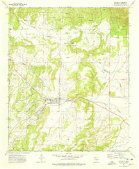
1973 · Capitan
USGS Topo · 1:24,000