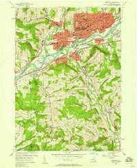
1956 Map of Endicott
USGS Topo · Published 1958About this map
The Susquehanna River valley serves as the central artery for this mid-century landscape, where the burgeoning industrial and academic character of the Southern Tier is on full display. In Endicott, the map reveals a dense network of civic and educational infrastructure, from the Village Hall and Hospital to specialized institutions like Harpur College and the Charles F Johnson Jr High Sch. This era of growth is underscored by the extensive rail operations of the Erie RR and the Delaware Lackawanna and Western, which flank the riverbanks and connect the concentrated residential blocks of Endwell and Vestal to the broader regional economy.
Find a feature on this map
63 named features on this map. Tap any name to fly to it.
Don’t see what you’re looking for? This feature index may not catch every label — zoom into the map to look around manually.
Map Details
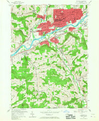
Editions of this 1956 Endicott Map
2 editions found
Other maps of this area

1901 · Apalachin
USGS Topo · 1:62,500

1904 · Binghamton
USGS Topo · 1:62,500

1904 · Apalachin
USGS Topo · 1:62,500

1906 · Catatonk
USGS Topo · 1:125,000

1934 · Castle Creek
USGS Topo · 1:24,000

1935 · Binghamton West
USGS Topo · 1:24,000

1942 · Binghamton West
USGS Topo · 1:31,680

1942 · Castle Creek
USGS Topo · 1:31,680

1943 · Montrose
USGS Topo · 1:62,500

1943 · Le Raysville
USGS Topo · 1:62,500