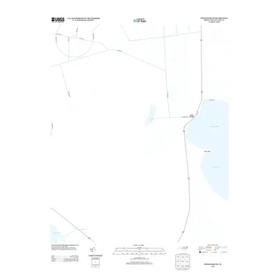
2013 Map of Engelhard NE
USGS Topo · Published 2013About this map
Lake Worth sits at the edge of the expansive Pamlico Sound, where the coastal geography of Dare County meets the tides of Stumpy Point Bay. This 2013 survey illustrates a low-lying landscape defined by its intricate water systems, including the inland Back Lake and the winding course of Deep Cr. The area is marked by a network of specialized routes such as Navy Lead Rd, Perimeter Rd, and Bluewing Rd, which hint at the region's managed coastal lands and utility. Near the shoreline, Kazer Point extends into the sound, anchoring a segment of the coast where the Long Shoal River flows southward. The map reveals the relationship between these remote roads and the natural water bodies that dominate this part of North Carolina's Outer Banks region.
Find a feature on this map
17 named features on this map. Tap any name to fly to it.
Don’t see what you’re looking for? This feature index may not catch every label — zoom into the map to look around manually.
Map Details
Editions of this 2013 Engelhard NE Map
This is the sole edition of this map. No revisions or reprints were ever made.
Other maps of this area
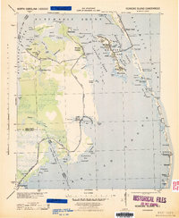
1943 · Roanoke Island
USGS Topo · 1:125,000
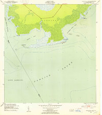
1951 · Long Shoal Point
USGS Topo · 1:24,000
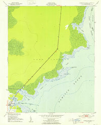
1951 · Engelhard East
USGS Topo · 1:24,000
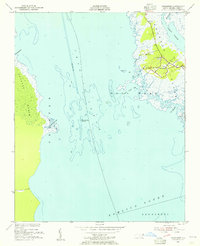
1953 · Wanchese
USGS Topo · 1:24,000
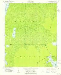
1953 · Engelhard NW
USGS Topo · 1:24,000
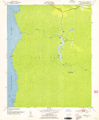
1953 · Buffalo City
USGS Topo · 1:24,000
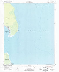
1953 · Stumpy Point
USGS Topo · 1:24,000
1953 · East Lake SE
USGS Topo · 1:24,000
1953 · Engelhard NE
USGS Topo · 1:24,000
1955 · Wanchese
USGS Topo · 1:250,000