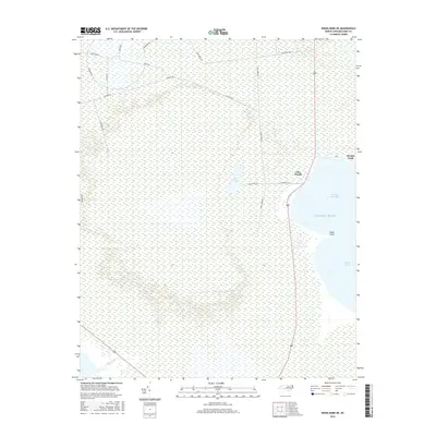
2016 Map of Engelhard NE
USGS Topo · Published 2016About this map
Stumpy Point and the small settlement of Lake Worth occupy a fragile threshold between the low-lying wetlands and the vast waters of Stumpy Point Bay. This coastal landscape is defined by the transition from the Pamlico Sound to interior marshlands, where drainage is marked by features like Back Lake and Deep Creek. The road network reveals the area's specialized use, with names such as Navy Lead Rd and Navy Shell Rd suggesting a history of military or governmental activity integrated into the swampy terrain. Narrow corridors like Long Curve Rd and Jackson Rd thread through the saturated ground, providing the only overland connections to landmarks such as Kazer Point along the Atlantic Ocean margin.
Find a feature on this map
18 named features on this map. Tap any name to fly to it.
Don’t see what you’re looking for? This feature index may not catch every label — zoom into the map to look around manually.
Map Details
Editions of this 2016 Engelhard NE Map
This is the sole edition of this map. No revisions or reprints were ever made.
Other maps of this area
1943 · Roanoke Island
USGS Topo · 1:125,000
1951 · Long Shoal Point
USGS Topo · 1:24,000
1951 · Engelhard East
USGS Topo · 1:24,000
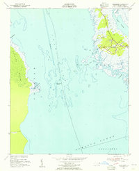
1953 · Wanchese
USGS Topo · 1:24,000
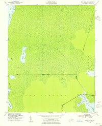
1953 · Engelhard NW
USGS Topo · 1:24,000
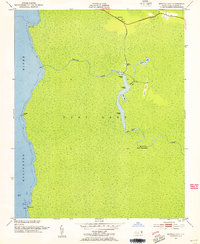
1953 · Buffalo City
USGS Topo · 1:24,000
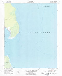
1953 · Stumpy Point
USGS Topo · 1:24,000
1953 · East Lake SE
USGS Topo · 1:24,000
1953 · Engelhard NE
USGS Topo · 1:24,000
1955 · Wanchese
USGS Topo · 1:250,000