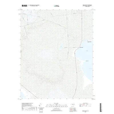
2019 Map of Engelhard NE
USGS Topo · Published 2019About this map
Stumpy Point serves as the primary coastal settlement in this marsh-dominated landscape along the western edge of the Pamlico Sound. The geography is defined by a dense network of naming-conventions reflecting military or local utility, such as Navy Shell Rd, Jackson Rd, and Long Curve Rd, which cut through the vast wetlands. Interior water bodies like Back Lake and Lake Worth are isolated from the larger sound by thin stretches of land terminating at points like Kazer Point. This 2019 survey captures the delicate balance of the Dare County coastline, where small communities rely on the winding corridor of Route 264 for connection. The area remains largely undeveloped, characterized by the expansive National Wetlands Inventory data which reveals the intricate drainage patterns leading into Stumpy Point Bay.
Find a feature on this map
17 named features on this map. Tap any name to fly to it.
Don’t see what you’re looking for? This feature index may not catch every label — zoom into the map to look around manually.
Map Details
Editions of this 2019 Engelhard NE Map
This is the sole edition of this map. No revisions or reprints were ever made.
Other maps of this area
1943 · Roanoke Island
USGS Topo · 1:125,000
1951 · Long Shoal Point
USGS Topo · 1:24,000
1951 · Engelhard East
USGS Topo · 1:24,000
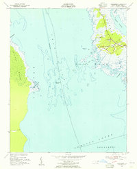
1953 · Wanchese
USGS Topo · 1:24,000
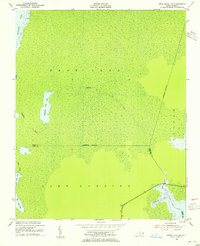
1953 · Engelhard NW
USGS Topo · 1:24,000
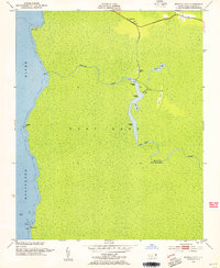
1953 · Buffalo City
USGS Topo · 1:24,000
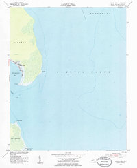
1953 · Stumpy Point
USGS Topo · 1:24,000
1953 · East Lake SE
USGS Topo · 1:24,000
1953 · Engelhard NE
USGS Topo · 1:24,000
1955 · Wanchese
USGS Topo · 1:250,000