
1898 Map of Engineer Mountain
USGS Topo · Published 1955About this map
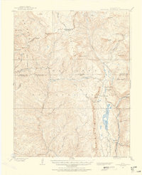
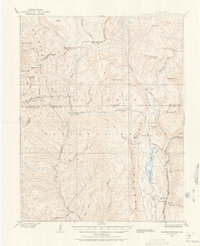
San Juan Mountains high country dominates this late 19th-century survey, revealing a landscape defined by the extraction and transport needs of the Silverton district. The Denver and Rio Grande RR (Silverton Line) hugs the banks of the Animas River in the east, passing Cascade Siding and a specialized Power House near Reservoir No 3. This early infrastructure supported the burgeoning industrial activity of the region, where water management was critical, as evidenced by the Flume near Purgatory.
Find a feature on this map
54 named features on this map. Tap any name to fly to it.
Don’t see what you’re looking for? This feature index may not catch every label — zoom into the map to look around manually.
Map Details
Editions of this 1898 Engineer Mountain Map
3 editions found
Other maps of this area

1895 · La Plata
USGS Topo · 1:62,500

1897 · La Plata
USGS Topo · 1:62,500

1897 · Rico
USGS Topo · 1:62,500

1897 · Telluride
USGS Topo · 1:62,500

1897 · Silverton
USGS Topo · 1:62,500

1898 · Durango
USGS Topo · 1:62,500

1898 · Rico
USGS Topo · 1:62,500

1899 · La Plata
USGS Topo · 1:62,500

1899 · Rico
USGS Topo · 1:62,500

1900 · Engineer Mountain
USGS Topo · 1:62,500