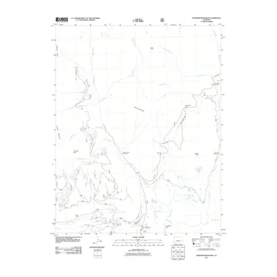
2011 Map of Engineer Mountain
USGS Topo · Published 2011About this map
Engineer Mountain dominates this high-altitude landscape in the San Juan National Forest area, where complex drainages and steep ridges define the local topography. The map documents a blend of recreation and historic land use, including the Sarah G Mine situated near Purgatory Campground. Significant elevation changes are marked by features like Coal Bank Pass and Coal Bank Hill, while a network of forest roads such as Cascade Divide RD and Hermosa Park RD provides access to the backcountry. Water sources are abundant, with Cascade Creek and Lime Creek carving through the terrain, supporting seasonal settlements like the Cascade Summer Home Group and the Harris Ranch. To the east, the prominence of Potato Hill rises above Potato Lake, illustrating the varied alpine environment that has long drawn miners, ranchers, and outdoor enthusiasts to this part of La Plata County.
Find a feature on this map
40 named features on this map. Tap any name to fly to it.
Don’t see what you’re looking for? This feature index may not catch every label — zoom into the map to look around manually.
Map Details
Editions of this 2011 Engineer Mountain Map
This is the sole edition of this map. No revisions or reprints were ever made.
Other maps of this area

1897 · Telluride
USGS Topo · 1:62,500

1897 · Silverton
USGS Topo · 1:62,500

1898 · Engineer Mountain
USGS Topo · 1:62,500

1900 · Engineer Mountain
USGS Topo · 1:62,500

1900 · Needle Mountains
USGS Topo · 1:62,500

1901 · Silverton
USGS Topo · 1:62,500

1902 · Needle Mountains
USGS Topo · 1:62,500

1902 · Silverton
USGS Topo · 1:62,500

1904 · Telluride
USGS Topo · 1:62,500

1908 · Engineer Mountain
USGS Topo · 1:62,500