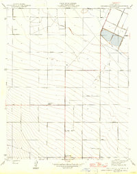
1947 Map of Englebrecht Ranch
USGS Topo · Published 1947About this map
Agricultural development in the San Joaquin Valley is clearly defined on this sheet, which centers on the Englebrecht Ranch and the structured grid of Fresno County roads. Surveyed originally in 1921 and revised just after World War II, the landscape is organized by an extensive network of avenues named for California counties and Midwestern cities, including San Joaquin Ave, Merced Ave, and Saginaw Ave.
Find a feature on this map
33 named features on this map. Tap any name to fly to it.
Don’t see what you’re looking for? This feature index may not catch every label — zoom into the map to look around manually.
Map Details
Editions of this 1947 Englebrecht Ranch Map
This is the sole edition of this map. No revisions or reprints were ever made.
Other maps of this area

1912 · Coalinga
USGS Topo · 1:125,000

1922 · Tufts Ranch
USGS Topo · 1:31,680

1923 · Levis
USGS Topo · 1:31,680

1923 · Englebrecht Ranch
USGS Topo · 1:31,680

1924 · Jamesan
USGS Topo · 1:31,680

1924 · Tranquillity
USGS Topo · 1:31,680

1925 · San Joaquin
USGS Topo · 1:31,680

1931 · Towne Oil Station
USGS Topo · 1:31,680

1931 · Mouth of Cantua Creek
USGS Topo · 1:31,680

1943 · Joaquin Rocks
USGS Topo · 1:62,500