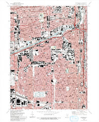
1993 Map of Englewood
USGS Topo · Published 1993About this map
Chicago's dense industrial and residential grid defines this map, stretching from the South Branch Chicago River and the Chinatown district to the southwestern edge of the city. The landscape is dominated by the massive infrastructure of the Chicago Sanitary and Ship Canal and major rail lines like the Icg RR, which historically fueled the city's manufacturing core. Significant public spaces and institutions anchor these neighborhoods, including the sprawling Marquette Park and Douglas Park, along with the International Amphitheatre and the University of Illinois at Chicago.
Find a feature on this map
248 named features on this map. Tap any name to fly to it.
Don’t see what you’re looking for? This feature index may not catch every label — zoom into the map to look around manually.
Map Details
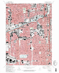
Editions of this 1993 Englewood Map
2 editions found
Other maps of this area

1889 · Chicago
USGS Topo · 1:62,500

1890 · Des Plaines
USGS Topo · 1:62,500

1891 · Chicago
USGS Topo · 1:62,500

1891 · Riverside
USGS Topo · 1:62,500

1892 · Calumet
USGS Topo · 1:62,500

1893 · Calumet
USGS Topo · 1:62,500

1893 · Riverside
USGS Topo · 1:62,500

1894 · Des Plaines
USGS Topo · 1:62,500

1900 · Chicago
USGS Topo · 1:62,500

1900 · Des Plaines
USGS Topo · 1:62,500