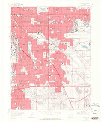
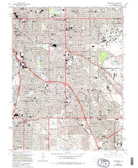
1965 Map of Englewood
USGS Topo · Published 1967About this map
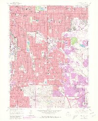
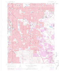
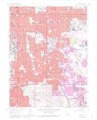
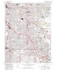
The State Capitol and the bustling core of Denver dominate the northwest corner of this mid-century survey, showing a city expanding rapidly into the surrounding Arapahoe County landscape. Dense urban blocks give way to the sprawling campus of the University of Denver and the strategic footprint of Lowry Air Force Base. The map documents a significant era of infrastructure development, featuring the Valley Highway and Southern Valley Highway cutting through the terrain to connect established neighborhoods with emerging suburbs like Cherry Hills Village and Glendale.
Find a feature on this map
157 named features on this map. Tap any name to fly to it.
Don’t see what you’re looking for? This feature index may not catch every label — zoom into the map to look around manually.
Map Details
Editions of this 1965 Englewood Map
9 editions found
Other maps of this area

1890 · East Denver
USGS Topo · 1:125,000

1899 · West Denver
USGS Topo · 1:125,000

1935 · East Denver Nos. 3 and 4
USGS Topo · 1:48,000

1938 · Derby
USGS Topo · 1:24,000

1938 · Long Branch
USGS Topo · 1:24,000

1940 · Englewood
USGS Topo · 1:31,680

1940 · Derby
USGS Topo · 1:31,680

1941 · Long Branch
USGS Topo · 1:31,680

1941 · Fitzsimons
USGS Topo · 1:31,680

1941 · Arvada
USGS Topo · 1:31,680