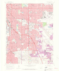
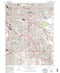
1965 Map of Englewood
USGS Topo · Published 1973About this map
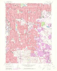
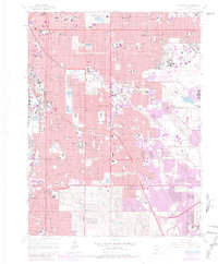
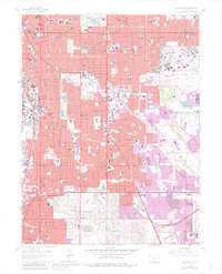
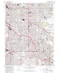
Lowry Air Force Base dominates the eastern landscape of this mid-century survey, with its runways marked as abandoned and closed to air traffic at the time of the 1971 photorevision. To the west, the South Platte River and the Valley Highway corridor define the industrial and transit backbone of Denver, while the High Line Canal snakes through the southern suburbs near Cherry Hills Village. The map illustrates the rapid post-war expansion of the Denver metropolitan area, documented by numerous purple-tinted urban extensions around Sullivan and Glendale.
Find a feature on this map
127 named features on this map. Tap any name to fly to it.
Don’t see what you’re looking for? This feature index may not catch every label — zoom into the map to look around manually.
Map Details
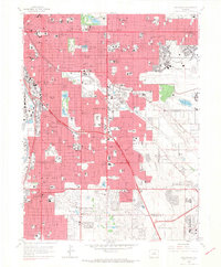
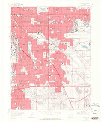
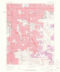
Editions of this 1965 Englewood Map
9 editions found
Other maps of this area

1890 · East Denver
USGS Topo · 1:125,000

1899 · West Denver
USGS Topo · 1:125,000

1935 · East Denver Nos. 3 and 4
USGS Topo · 1:48,000

1938 · Derby
USGS Topo · 1:24,000

1938 · Long Branch
USGS Topo · 1:24,000

1940 · Englewood
USGS Topo · 1:31,680

1940 · Derby
USGS Topo · 1:31,680

1941 · Long Branch
USGS Topo · 1:31,680

1941 · Fitzsimons
USGS Topo · 1:31,680

1941 · Arvada
USGS Topo · 1:31,680