
1957 Map of Englewood NW
USGS Topo · Published 1957About this map
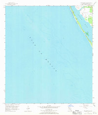
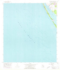
Manasota Peninsula stretches across this mid-century survey, forming a narrow barrier between the open Gulf of Mexico and the sheltered waters of Lemon Bay. The coastal landscape is defined by its transition from saltwater to marsh, particularly where Forked Creek meets the bay. On the mainland, the County Landing Field highlights early aviation infrastructure in Sarasota County, while the surrounding topography shows the beginnings of residential development along the shore. This map records the bathymetry and shoreline exactly as they were before the significant dredging and harbor modifications of later decades, making it a primary source for understanding the natural hydrology of the Florida Gulf Coast during the 1950s.
Find a feature on this map
5 named features on this map. Tap any name to fly to it.
Don’t see what you’re looking for? This feature index may not catch every label — zoom into the map to look around manually.
Map Details
Editions of this 1957 Englewood NW Map
3 editions found
Other maps of this area

1944 · Myakka River
USGS Topo · 1:31,680

1944 · Venice
USGS Topo · 1:31,680

1956 · Englewood
USGS Topo · 1:24,000

1956 · Tampa
USGS Topo · 1:250,000

1956 · Charlotte Harbor
USGS Topo · 1:250,000

1957 · Placida
USGS Topo · 1:24,000

1959 · Tampa
USGS Topo · 1:250,000

1960 · Tampa
USGS Topo · 1:250,000

1972 · Tampa
USGS Topo · 1:250,000
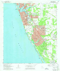
1973 · Venice
USGS Topo · 1:24,000