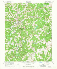
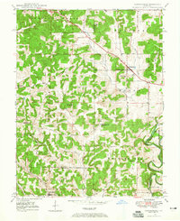
1966 Map of English
USGS Topo · Published 1968About this map
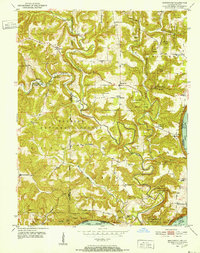
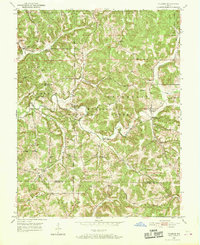
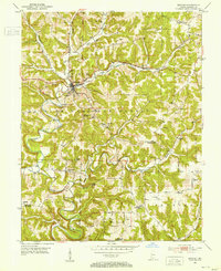
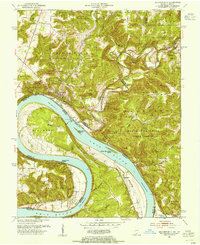
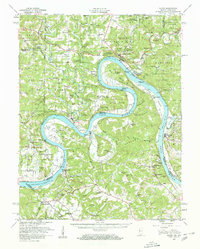
The town of English serves as a central hub in this mid-1960s survey of Crawford County, Indiana, where the Southern RR railroad line cuts through the hilly interior of the Hoosier National Forest. The landscape is defined by the winding course of the Little Blue River and the Blue River, with the English Reservoir and Grant Lake providing key water resources for the area. This topographic record highlights a rural network of family and community landmarks, including Grantsburg, Curby, and Riddle. Genealogists will find a wealth of local history through numerous rural assembly points such as Simpson Chapel, Mathers Chapel, and Temple Ch, alongside family-named sites like Sloan Cem and Lund Cem. The map captures the interaction between federal forest lands, including Harrison-Crawford State Forest, and the established settlements that dot the southern Indiana hill country.
Find a feature on this map
44 named features on this map. Tap any name to fly to it.
Don’t see what you’re looking for? This feature index may not catch every label — zoom into the map to look around manually.
Map Details
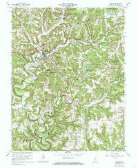
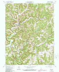
Editions of this 1966 English Map
3 editions found
Other maps of this area
1946 · Leavenworth
USGS Topo · 1:24,000
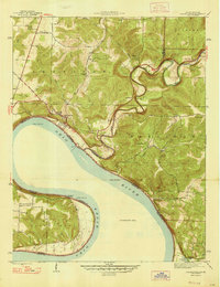
1947 · Leavenworth
USGS Topo · 1:24,000
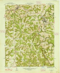
1947 · Hardinsburg
USGS Topo · 1:24,000
1948 · Milltown
USGS Topo · 1:24,000
1949 · Hardinsburg
USGS Topo · 1:24,000
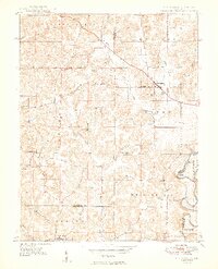
1950 · Beechwood
USGS Topo · 1:24,000
1950 · Valeene
USGS Topo · 1:24,000
1950 · English
USGS Topo · 1:24,000
1950 · Leavenworth
USGS Topo · 1:24,000
1950 · Alton
USGS Topo · 1:62,500