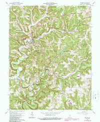
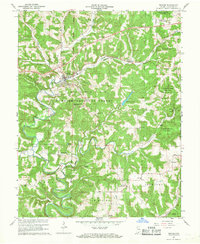
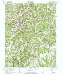
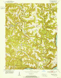
1966 Map of English
USGS Topo · Published 1989About this map
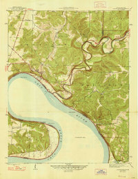
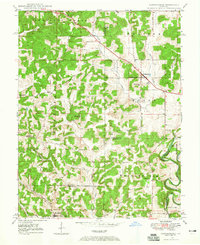
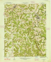
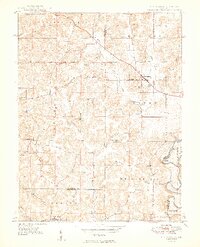
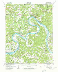
The town of English serves as the focal point of this Southern Indiana landscape, situated where the Southern railroad follows the winding valley floor. The area's complex topography is defined by the Little Blue River and its numerous tributaries, including Dog Creek and Brushy Creek. This mid-century survey, with later photorevisions, captures the intersection of rural industry and conservation, featuring large tracts of the Hoosier National Forest and Harrison-Crawford State Forest. Genealogists will find a high density of family landmarks and small community centers, such as Grantsburg, Riddle, and Switzer Crossroads. The map documents several rural burial grounds, including Stewart Cem and Hamilton Cem, along with local landmarks like the Nilsson Overlook and the High Sch in English.
Find a feature on this map
47 named features on this map. Tap any name to fly to it.
Don’t see what you’re looking for? This feature index may not catch every label — zoom into the map to look around manually.
Map Details
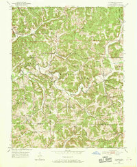
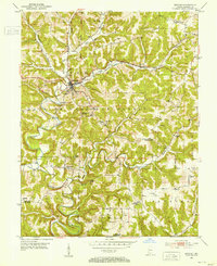
Editions of this 1966 English Map
3 editions found
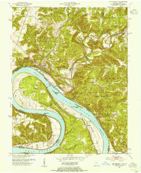
Other maps of this area
1946 · Leavenworth
USGS Topo · 1:24,000
1947 · Leavenworth
USGS Topo · 1:24,000
1947 · Hardinsburg
USGS Topo · 1:24,000
1948 · Milltown
USGS Topo · 1:24,000
1949 · Hardinsburg
USGS Topo · 1:24,000
1950 · Beechwood
USGS Topo · 1:24,000
1950 · Valeene
USGS Topo · 1:24,000
1950 · English
USGS Topo · 1:24,000
1950 · Leavenworth
USGS Topo · 1:24,000
1950 · Alton
USGS Topo · 1:62,500