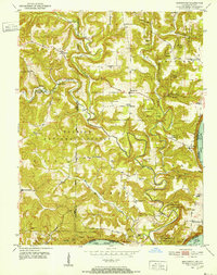
1966 Map of English
USGS Topo · Published 1985About this map
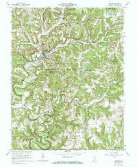
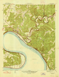
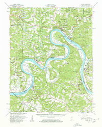
The town of English serves as the hub of this mid-century Crawford County landscape, where the Southern railroad line follows the valley of Fork Spring Creek. The terrain is defined by the winding course of the Little Blue River, which carves through the protected lands of the Hoosier National Forest and Harrison-Crawford State Forest. Small rural communities and intersections like Switzer Crossroads and Centerville anchor the southern portion of the map, while family-named landmarks and local worship centers such as Mathew Chapel and Temple Chapel are scattered throughout the northern hills. Along the river, features like Grant Lake and Seton Knob mark the complex topography of the region. This 1966 revision provides a clear record of the area's transition, showing the intersection of local industry and public forest lands before later development altered the rural character of these Southern Indiana townships.
Find a feature on this map
45 named features on this map. Tap any name to fly to it.
Don’t see what you’re looking for? This feature index may not catch every label — zoom into the map to look around manually.
Map Details
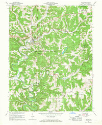
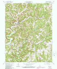
Editions of this 1966 English Map
3 editions found
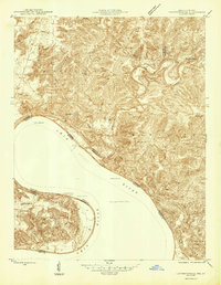
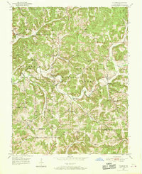
Other maps of this area
1946 · Leavenworth
USGS Topo · 1:24,000
1947 · Leavenworth
USGS Topo · 1:24,000
1947 · Hardinsburg
USGS Topo · 1:24,000
1948 · Milltown
USGS Topo · 1:24,000
1949 · Hardinsburg
USGS Topo · 1:24,000
1950 · Beechwood
USGS Topo · 1:24,000
1950 · Valeene
USGS Topo · 1:24,000
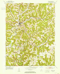
1950 · English
USGS Topo · 1:24,000
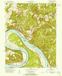
1950 · Leavenworth
USGS Topo · 1:24,000
1950 · Alton
USGS Topo · 1:62,500