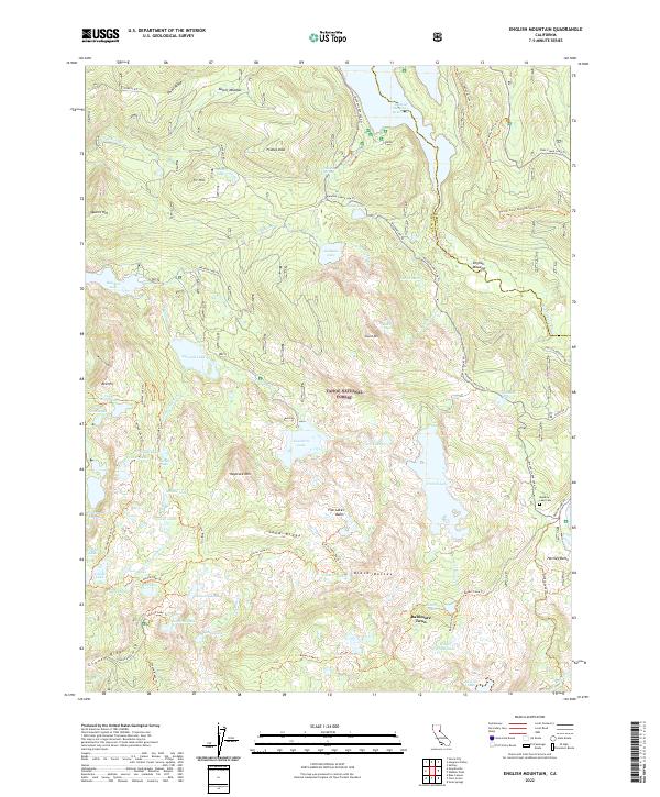
2022 Map of English Mountain
USGS Topo · Published 2022About this map
Baltimore Town sits at the heart of this high-elevation landscape within the Tahoe National Forest, a region defined by a dense network of glacial lakes and rugged peaks. The geography is dominated by notable summits such as English Mtn and Haystack Mtn, with the Five Lakes Basin and Sand Ridge providing a natural corridor for early transit and recreation. Water management is a primary theme of the area, evidenced by the large Jackson Meadows Reservoir to the north and numerous smaller bodies like Faucherie Lake, Weil Lake, and French Lake. For those researching local history, the Meadow Lake Cem serves as a quiet witness to the nineteenth-century mining and timber settlements that once dotted these ridges. The map also traces the modern and historic pathways through the Sierra, including the Pacific Crest National Scenic Trl and the Fordyce Jeep Trl, which follow the contours of Grouse Ridge and the Black Buttes.
Find a feature on this map
84 named features on this map. Tap any name to fly to it.
Don’t see what you’re looking for? This feature index may not catch every label — zoom into the map to look around manually.
Map Details
Editions of this 2022 English Mountain Map
This is the sole edition of this map. No revisions or reprints were ever made.
Other maps of this area

1890 · Sierraville
USGS Topo · 1:125,000

1891 · Downieville
USGS Topo · 1:125,000

1891 · Colfax
USGS Topo · 1:125,000

1891 · Truckee
USGS Topo · 1:125,000

1892 · Sierraville
USGS Topo · 1:125,000

1892 · Colfax
USGS Topo · 1:125,000

1893 · Truckee
USGS Topo · 1:125,000

1893 · Downieville
USGS Topo · 1:125,000

1894 · Colfax
USGS Topo · 1:125,000

1894 · Sierraville
USGS Topo · 1:125,000