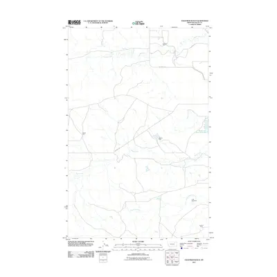
2011 Map of Engstrom Ranch
USGS Topo · Published 2011About this map
Billingsley Ranch and other family-named landholdings define this section of the Montana prairie in the early twenty-first century. This landscape is characterized by its agricultural operations and the careful management of water resources in a semi-arid environment. Key infrastructure for ranching is evident in the presence of the Weson Dam and the Little Brazil Dam, which help manage the flow of Brazil Creek and Little Brazil Creek. Local transit is facilitated by a network of rural routes such as Bentonite Rd and Billingsley Rd, connecting scattered homesteads like the Uphaus Ranch and Engstrom Ranch. The drainage of Antelope Creek further illustrates the natural hydrology that has shaped the development of these ranching operations over generations.
Find a feature on this map
12 named features on this map. Tap any name to fly to it.
Don’t see what you’re looking for? This feature index may not catch every label — zoom into the map to look around manually.
Map Details
Editions of this 2011 Engstrom Ranch Map
This is the sole edition of this map. No revisions or reprints were ever made.
Other maps of this area
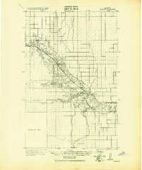
1943 · Glasgow
USGS Topo · 1:125,000

1954 · Glasgow
USGS Topo · 1:250,000

1957 · Glasgow
USGS Topo · 1:250,000

1958 · Glasgow
USGS Topo · 1:250,000
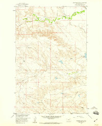
1958 · Engstrom Ranch
USGS Topo · 1:24,000
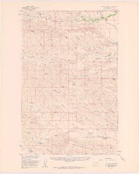
1958 · Miller Coulee
USGS Topo · 1:62,500
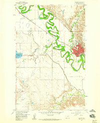
1958 · Glasgow
USGS Topo · 1:24,000
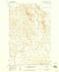
1958 · Blanchard Ranch
USGS Topo · 1:24,000
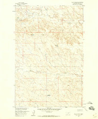
1958 · Billick Coulee
USGS Topo · 1:24,000
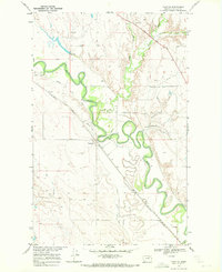
1969 · Tampico
USGS Topo · 1:24,000