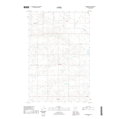
2020 Map of Engstrom Ranch
USGS Topo · Published 2020About this map
Engstrom Ranch and the surrounding drainage of the Valley County plains are defined by an intricate network of artificial water management and seasonal creeks. The landscape is marked by a series of numbered reservoirs, including Reservoir Number Seventy-seven and Reservoir Number One Hundred Sixty-eight, which speak to the area's history of managing water in this arid environment. Natural drainage flows through Antelope Cr in the north and the split systems of Brazil Cr and Little Brazil Cr to the south. Transportation in this section of the state relies on a grid of rural routes such as Billingsley Rd and Bentonite Rd, which cut across the township lines of t28n r38e and its neighbors. The placement of these features reflects the legacy of ranching and specialized mineral extraction implied by the local infrastructure.
Find a feature on this map
16 named features on this map. Tap any name to fly to it.
Don’t see what you’re looking for? This feature index may not catch every label — zoom into the map to look around manually.
Map Details
Editions of this 2020 Engstrom Ranch Map
This is the sole edition of this map. No revisions or reprints were ever made.
Other maps of this area
1943 · Glasgow
USGS Topo · 1:125,000

1954 · Glasgow
USGS Topo · 1:250,000

1957 · Glasgow
USGS Topo · 1:250,000

1958 · Glasgow
USGS Topo · 1:250,000
1958 · Engstrom Ranch
USGS Topo · 1:24,000
1958 · Miller Coulee
USGS Topo · 1:62,500
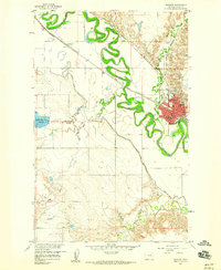
1958 · Glasgow
USGS Topo · 1:24,000
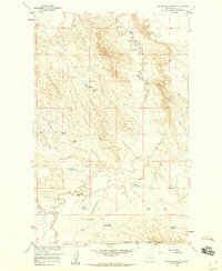
1958 · Blanchard Ranch
USGS Topo · 1:24,000
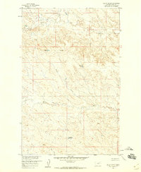
1958 · Billick Coulee
USGS Topo · 1:24,000
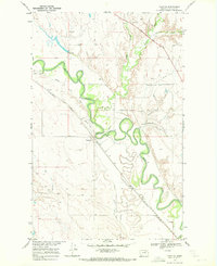
1969 · Tampico
USGS Topo · 1:24,000